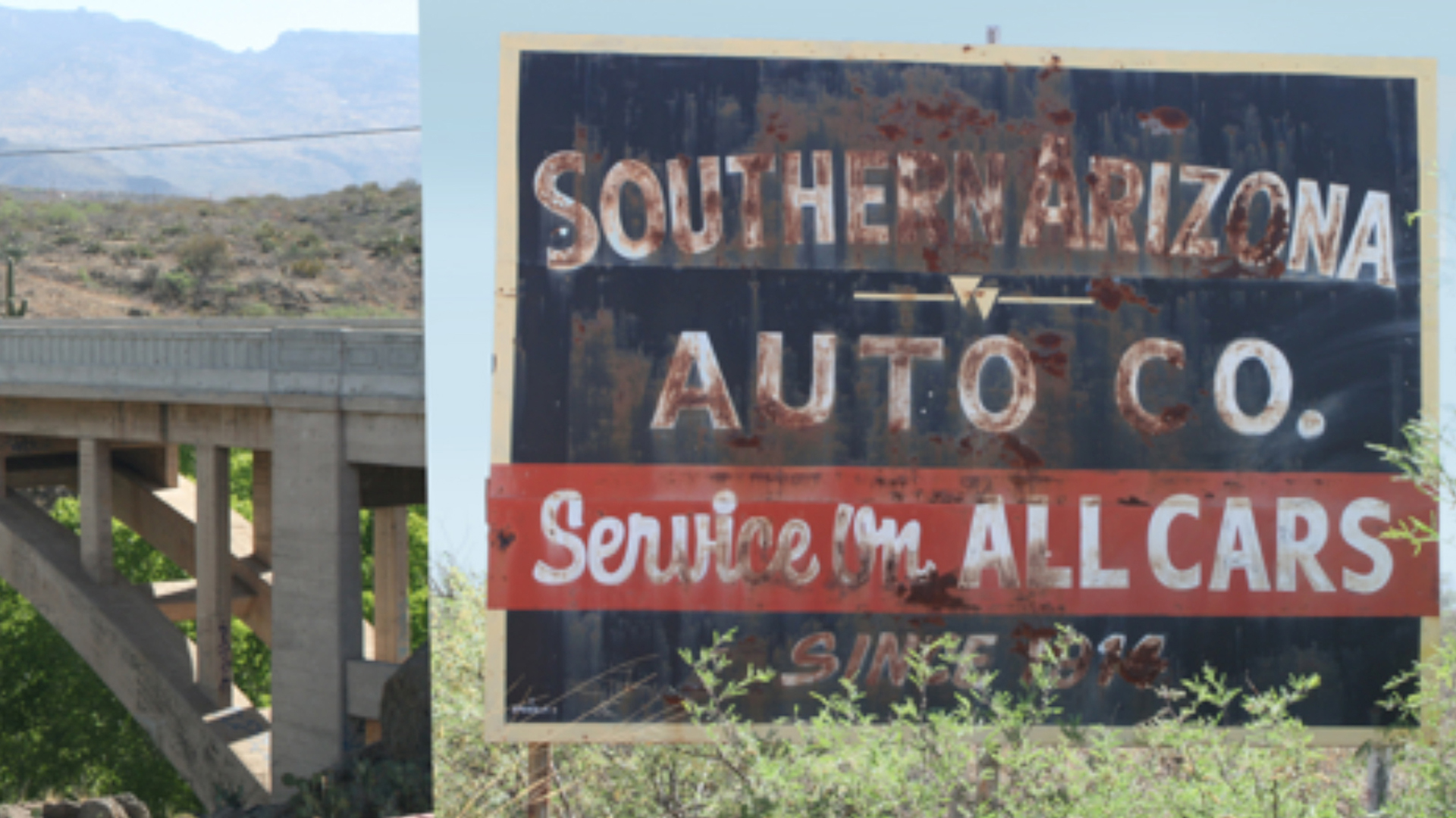
Beginning in 2012 the Tucson Historic Preservation Foundation began the inventory, survey and mapping of the historic alignment of U.S. Route 80. (1926 – 1977) across the State of Arizona from the New Mexico border through Douglas, Bisbee, Benson, Tucson, Florence, Apache Junction, Mesa, Tempe, Phoenix, Buckeye, Gila Bend and Yuma into California. In Tucson, the alignment follows Oracle Road, Drachmann, Stone Avenue, South Sixth Avenue and Benson Highway and is an important historic corridor that represents the transformation and development of Tucson in the 20th Century. In summer 2016 the City of Tucson submitted the National Register of Historic Places nomination for the Miracle Mile Historic District (the northern segment of this highway in Tucson).
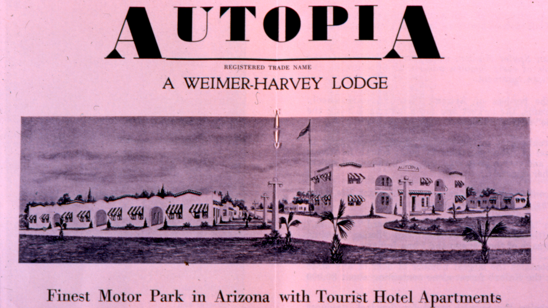
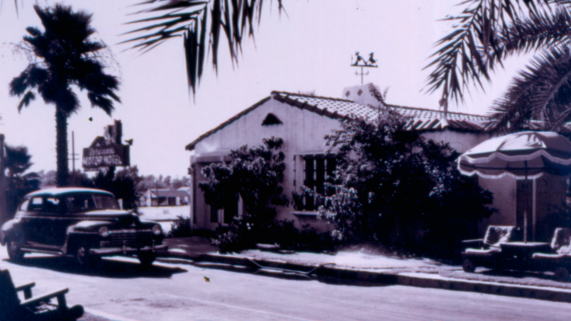
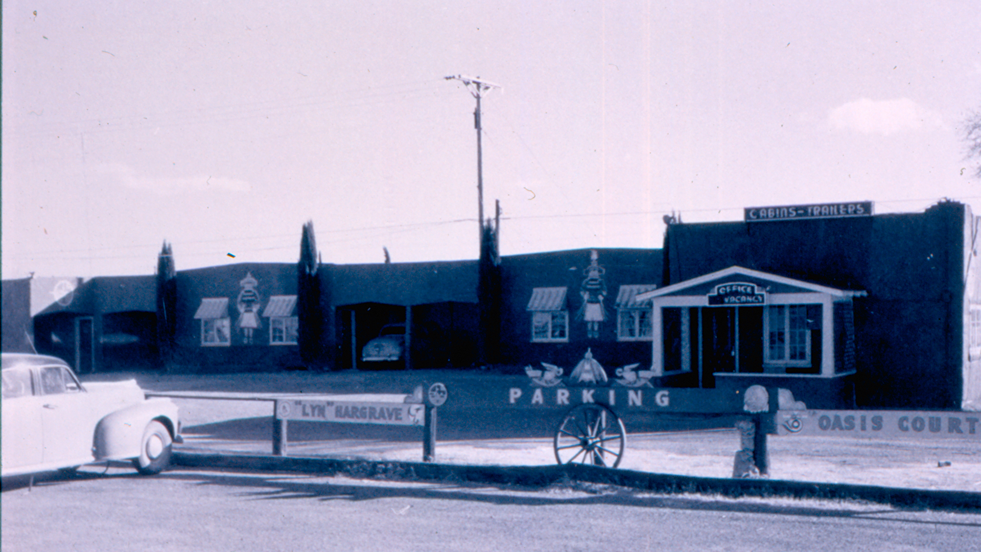
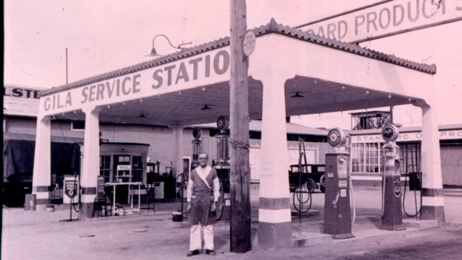
The Arizona segment of this cross county highway was an economic and cultural arterial that connected rural communities with urban cores. It shaped both the American experience of the Southwest and the development of cities that saddled its roadbed. Not only does the road connect a myriad of cultural landscape and historic places but is itself a unique historic resource. Like Route 66 to the north, the Arizona segment of US 80 shaped the west. Along its curb developed roadside architecture: service stations, dinners, attractions, neon‑signs, motels and a host of other resources wove into communities and though rural vistas combining to create a distinct and unique sense of place.
The Arizona Department of Transportation Parkways, Historic and Scenic Roads Advisory Committee met on June 20, 2017 and unanimously recommended Designation of the Historic Arizona US Route 80. The Arizona Transportation Board voted to designated the Route on September 21, 2018.
